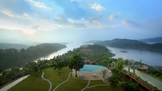
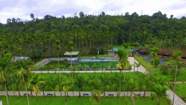
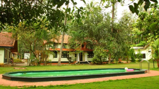
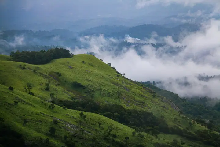
Wayanad sits high in the Western Ghats on the southern edge of the Deccan Plateau. The name is usually traced to Vayal Nadu, the land of paddy fields, and the district still lives up to it: rice fields in the valleys, tea, coffee and spice estates on the slopes, and cool, misty hills above them. It covers about 2,132 square kilometres, and its forests link Mudumalai in Tamil Nadu with Bandipur in Karnataka as part of the Nilgiri Biosphere Reserve. Lakkidi, Vythiri and Meppadi get the heaviest rain.
People have lived here for thousands of years. The carvings in the Edakkal Caves on Ambukuthi hill go back to the Neolithic period. In the late 1700s and early 1800s the forests sheltered Kerala Varma Pazhassi Raja, who fought a long guerrilla campaign against the British; his memorial stands in Mananthavady, where Arthur Wellesley, later the Duke of Wellington, led the campaigns against him. Tipu Sultan built a fort at Sultan Bathery, and the old Jain temple there is a reminder that Jainism was once strong in the region. Wayanad became a district of its own in 1980, with the taluks of Mananthavady, Sultan Bathery and Vythiri, and Kalpetta as its headquarters.
The Paniya, Kurichiya and Kattunayakan communities are part of everyday life here, and several community tourism projects let visitors see their crafts, food and farming. Visitors come for the Chembra Peak trek and its heart-shaped lake, bamboo rafting at Kuruva Island, jeep safaris at Tholpetty, boating on Pookode and Karlad lakes, spice plantation walks and Banasura Sagar, India's largest earth dam.
For visitor help, contact the District Tourism Promotion Council (DTPC), Civil Station, Kalpetta North, Wayanad 673122: +91 493 620 2134, +91 94460 72134, info@dtpcwayanad.com.
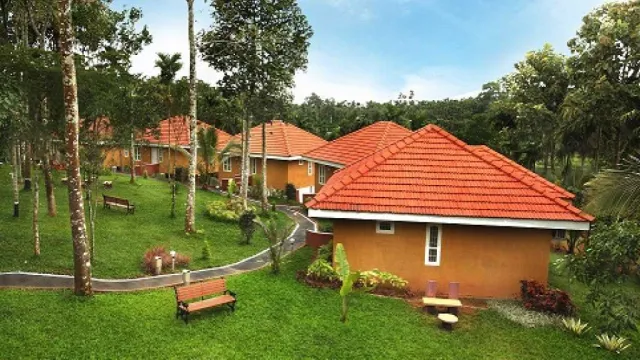 Pakkam